
What geofencing means in plain terms
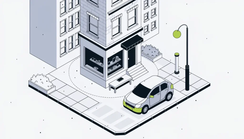
Geofencing means drawing an invisible boundary on a map and asking software to watch for devices that cross it. The boundary itself is called a geofence. A geofence is a virtual perimeter around a real-world area, set either as a radius around a point or as a predefined boundary.
The perimeter has no physical form. Nothing is installed at the location, and no sign marks the edge. The fence exists only as coordinates stored in an app or an ad system.
What makes a fence useful is the trigger. A trigger is the event the software reacts to, such as a phone arriving, leaving or staying put. Each geofence can be monitored separately for entrance, exit or dwell.
The idea is older than most people expect. Geofencing was invented in the early 1990s. Michael Dimino patented it in 1995, using GPS and GSM technology.
Today the term covers several quite different uses:
- A phone app that reminds its owner of a task on arrival at home.
- An advertiser that shows ads to phones near a car dealership or a competitor.
- A police request for every device seen in an area during a set window.
The same basic tool sits under all three. The rules, the data and the risks differ a great deal between them.
The mechanism behind a virtual perimeter
A geofence works by comparing a phone’s estimated position against a stored boundary. When the position moves from outside to inside, or the reverse, the system records an event. That event then starts whatever action the app or advertiser has set up.
How the phone knows where it is
The phone must first work out its own location. Phones use GPS outdoors, Wi-Fi network matching indoors or in dense cities, and cell-tower data. Modern phones usually combine these methods.
Each method has a different level of precision. GPS-enabled smartphones are typically accurate to within 4.9 m (16 ft) under open sky. Wi-Fi location is typically accurate to 20–50 m.
Rural driving is harder. Without Wi-Fi, Android location accuracy can drop to several hundred meters or even several kilometers.
How the boundary is defined
On Android, a geofence is a circle set by latitude, longitude and a radius in meters. Google recommends a minimum radius of 100 to 150 meters on Android. A smaller circle would sit inside the phone’s own margin of error.
Circles are not the only option. NASA researchers modeled geofences as general polygons, including keep-in and keep-out regions. A polygon is a shape made of straight edges, so it can follow a property line or a city block.
When the alert arrives
Alerts are not instant. Android geofence alerts usually arrive within about 2 minutes. On a phone that has sat still for a long time, the wait can reach about 6 minutes.
Foreground and background monitoring
There are two broad ways an app can watch a fence. One uses GPS only while the app is open in the foreground, which drains more battery. The other runs in the background without GPS and cannot support real-time notifications.
Marketers often call these active and passive geofences, although reference sources describe them as foreground and background types. The labels vary between vendors, so it helps to ask which one a vendor means.
Shapes, triggers and types of geofence
A geofence can be described by four parts: its shape, the event that fires it, how the app monitors it, and where the location comes from. Knowing these parts makes most vendor descriptions easier to read. The table sets them side by side.
| Part | Options | What it changes |
|---|---|---|
| Shape | Circle or polygon | How closely the fence matches a real property |
| Trigger | Enter, exit or dwell | Which movement starts the action |
| Monitoring | Foreground or background | Battery drain and how quickly alerts arrive |
| Location input | GPS, Wi-Fi or cell towers | How precisely the phone is placed |
The dwell trigger deserves a short note. A dwell trigger fires only after the phone stays inside for a set time, which Android calls a loitering delay. Google recommends dwell over enter to cut down alert spam.
Limits also shape what is possible. Android allows up to 100 active geofences per app, per device user. An app that tracks many places has to choose which fences are active at any moment.
Advertising systems describe their fences in other terms. Advertisers can set ad locations by ZIP code, street address, latitude and longitude, or IP address. Examples include competitor locations and a few square miles around a car dealership.
What a geofence can and cannot do for a local business
For a local business, a geofence is a way to reach phones that are near a chosen place. It can support ads near a store or a rival, and it can support counts of visits after an ad. It cannot place a phone at an exact doorway, and it cannot make anyone walk in.
Advertising is the most common business use. The FTC described geofencing with the example of an ad sent to someone within 200 meters of a pharmacy. That example shows the scale involved: a block or two, not a single storefront.
Measurement is the second use. Geofencing vendors can track devices that saw an ad and later entered a showroom, which is called walk-in attribution. No official source shows how accurate that matching is, so vendor visit counts are estimates.
Precision sets the practical floor. A fence smaller than about 100 to 150 meters works against the phone’s own error margin. In a strip mall, a fence of that size can cover several neighboring storefronts.
Delay matters for timing. A message meant to greet a shopper at the door may arrive a couple of minutes after they walk in. Offers built on geofencing work better when they do not depend on split-second timing.
The full process, from location signals to the moment an alert fires, is set out step by step in a separate guide on how geofencing works.
Law matters as well. Washington bans geofencing in-person health care providers to track consumers, collect health data or send related ads. New York bans geofencing another party’s health care facility to deliver ads, build profiles or infer health status.
New York defines a geofence for that rule as a radius of 1,850 feet or less. A business near a clinic or hospital should check these rules before drawing any fence. This guide is not legal advice.
Pricing practices have drawn attention too. Target paid $5 million in an April 2022 settlement with the San Diego City Attorney. The claims were that it used geofencing to raise prices in store.
Misconceptions about virtual perimeters
Five beliefs about geofencing come up often, and each one is wrong in a specific way. Most of them overstate precision or speed. One overstates what the law allows, and one overstates results.
“Geofences are always circles.” Android uses circles. Research systems, such as the NASA work, use polygons with edges and vertices.
“Geofencing is pinpoint accurate.” Wi-Fi location is typically accurate to 20–50 m. Without Wi-Fi, the error can grow to kilometers.
“Alerts fire the moment someone arrives.” Android alerts usually arrive within about 2 minutes. Under Android 8.0 and later background limits, the average is 2 to 3 minutes.
“Any business can geofence anywhere.” Washington and New York both restrict geofencing around health care facilities. Other rules may apply in other places.
“A fence brings foot traffic on its own.” No official source shows a typical store-visit lift from geofencing. A fence decides who can be reached, not who responds.
Frequently asked questions
What is the difference between geolocation and geofencing?
Geolocation is the process of working out where a device is, using GPS, Wi-Fi or cell towers. Geofencing takes that estimated position and compares it with a boundary drawn on a map. The fence reacts only when the position crosses the line or stays inside it.
Is geo fencing legal?
Geofencing is used lawfully in many apps and ad campaigns, but it is not allowed for every purpose. Washington and New York restrict geofencing around health care facilities. The legal status of geofence warrants used by police is still developing.
Who invented geofencing?
Geofencing was invented in the early 1990s. Michael Dimino patented it in 1995, using GPS and GSM technology.
Why do some geofence warrants make the news?
A geofence warrant lets police search a database for all devices in an area. These warrants were first used in 2016, and Google is the most common recipient. In June 2026 the Supreme Court ruled that obtaining Google Location History data was a Fourth Amendment search.
Where to read next on geofences
This guide is part of the hub on geofences. The hub covers the mechanism step by step, how businesses use fences in marketing, and how the rules differ for apps, ads and warrants. Each topic has its own short series.
Start with geofences explained for the full map of guides.